Observations from One Square Mile: Into the Hills
It was a cold, damp morning at the end of December. Fresh snow lay in clumpy patches, melting unevenly from the dripping branches above. I walked slowly, watching more than moving. First, surrounded by the shadowed dawn in thin forest, then brighter, onto open hills. This was my first ascent up what I would come to call Middle Ridge, leaving the only tracks up the steep side. As I stopped to catch my breath, with half the climb or more still ahead, a kestrel, feathers banded in orange and gray, twirled across the edge of the ridge in front of me. Its small, compact body cut the air with ease, coming to settle on a snow-burdened oak. Any raptor is a joy to behold, so one right next to me, this early in the day, held me fast.
This was a scouting trip of sorts. I had been slowly mulling over an idea: to spend a lot of time in a single environment, until I became enmeshed with the intricacies of the land. The question I was out to answer on this first trip was how much area to constrain myself to. I wanted it to be small enough to allow for a studied familiarity, while also having enough space for mystery and surprise.
The week before, poring over maps of the region, I had a sense that one square mile could be right. But even though I've been a runner my entire life, I didn't have a clear understanding of what that much land would contain, especially off-trail over rugged ground. So here I was, tracking through unbroken snow with a rough route in mind, hoping to see signs of life that would convince me this was a place I could spend an entire year.
Can you find the extraordinary within the everyday?
This question would become the through line of my project, part challenge, part curiosity, and ultimately the motivation that drove me out into these hills over and over again. I call them hills in deference to the true peaks of the Wasatch Range, a 160-mile run of mountains stretching from Idaho down to central Utah. The Wasatch has dozens of peaks over 10,000 feet, with a handful of rocky, brilliant summits lying even higher.
The foothills I was hiking through are at the top end of the Salt Lake Valley, only a few miles from the center of downtown Salt Lake City. The diminutive peaks are rounded at the top, laid through with grass and strands of scrub oak. From afar, a muddied yellow for most of the year. They're home to mule deer, coyote, and the rare mountain lion, in addition to a host of smaller animals, rattlesnakes, and dozens of species of birds. At their steepest, the hills can rise six hundred feet in a quarter mile, plenty enough to put you out of breath and grant sweeping views in every direction.
I had mapped out a roughly rectangular plot, taller than wide, bounded on the north and south by paralleling ridge lines with a third running up the center, flanked by two dry creek beds. The westernmost boundary runs along a popular mountain biking and running route, a connecting segment of the Bonneville Shoreline Trail and nearly on the doorstep of the University of Utah. Branching off to the east are three lines of natural travel. The line up Middle Ridge splits the range into two halves, with its steepness off the sides softening the further east you go. The North Fork has a decently tracked trail that veers northeast, eventually splitting into a wide Y and falling into disuse. South Fork is at times overhung like a tunnel, heavily overgrown with more water than foot traffic, and there's hardly any water to speak of.
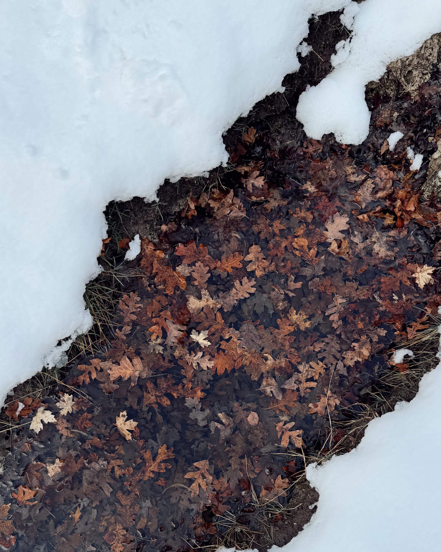
The two creek beds, even dry, provide a shady respite from the exposed flanks above. They're filled with maple, box elder, and cottonwoods, and even in winter are dense enough to block further views. Although measly by Utah measure, the highest point within my square mile range sits at around 6,600 feet, around the same height as Mt. Mitchell, the tallest peak east of the Mississippi. While the area is, at least at the edges, distractingly busy, you're unlikely to encounter many people the further east you go into the range. It's steep, overgrown, and frankly not that pretty.
Even before heading out, I was worried that the area would be too close to the heart of the city to allow for a deep immersion in the environment. And this first trip, with the dull drone of highway traffic and a thin layer of winter inversion creeping up the draws, did little to ease my concern. But the proximity had its advantages.
Ultimately, it boiled down to access. From my apartment, it's only a ten-minute drive to the trailhead parking lot, and from the car another forty-five minutes of hiking to reach a point I've named Rock Hill, halfway up Middle Ridge with clear lines of sight across the western half of the range. I can also see all three ridge lines from my kitchen table, allowing for a constant eye on the weather and seasonal conditions. I've had more projects fizzle out through lack of time than desire, so compromising on a degree of wildness for the ease of getting out more often felt like a worthy trade.
The rest of the day is spent wandering, to the high point of the range and then back down to the edges of North Fork. I follow tracks of deer and coyote, with crisscrossing routes of logic beyond my comprehension. Birds fly quickly overhead, too high to hear or discern color of wing. There's only the faint sound of water dripping onto the snowy earth, a felted syncopation of quiet. I'm surrounded by worlds of detail I have yet to learn to observe. But I already know I'll come back, and soon.
I left with more questions than answers. Did I pick the right spot? Is this too big of an area? Will there be enough to watch and write about, or will I be driven out by boredom? Since then, I've been back another half dozen times, and I still feel like a stranger looking into the windows of someone's well-lit house. Brief glimpses of life that can only hint at the fuller story. But there's a spirit to the place, unassuming and reserved, that I feel a natural kinship to. So now it's up to me to be patient and curious enough to find the extraordinary moments that are passing all around.
Read the second essay in the series: Winter.